Detailed map of the interstate highway I-69 via Texas, Kentucky, Michigan
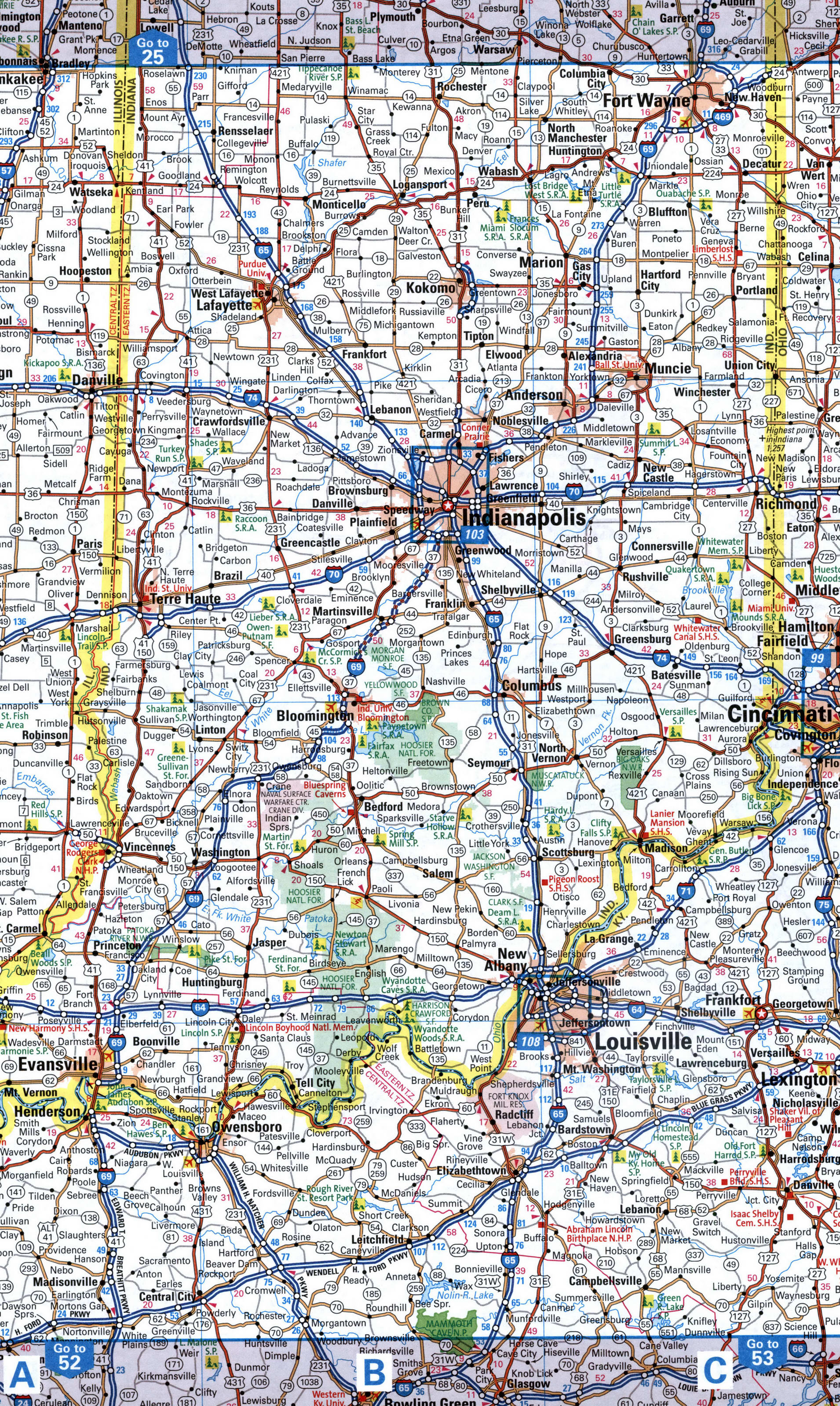
Map interstate highway 69 route between cities Detroit, Lansing, Fort Wayne, Indianapolis, Bloomington, Evansville, Princeton
Interstate highway I-69 connects the cities of states: Texas, Mississippi, Tennessee, Kentucky, Indiana, Michigan state. Detailed map of interstate route I69 with interchange and exit numbers.
Interstate 69 passes near several major cities: Detroit, Lansing, Fort Wayne, Indianapolis, Bloomington, Evansville, Princeton.

Map of inter-regional highway I-69 between Fort Wayne, Indianapolis, Evansville, Henderson.
Map of inter-regional highway I-69 between Memphis, Princeton
