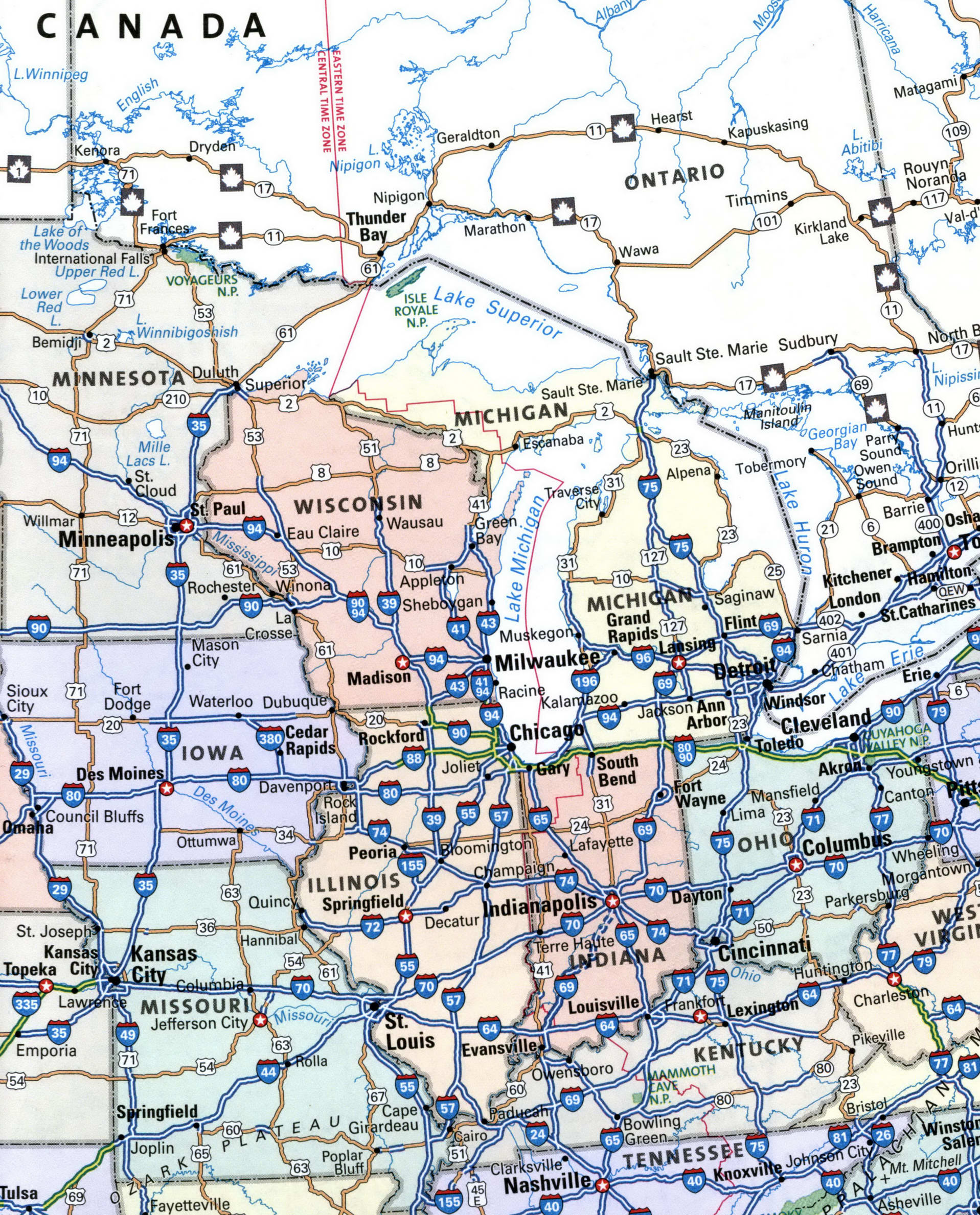
Map of Midwest region with cities and interstate highways. Map Road Middlewest
Detailed map of Midwest region
The Middle West region maps for motor carriers.
The Midwest region section of the atlas contains maps of the following states: Illinois, Indiana, Iowa, Kansas, Michigan, Minnesota, Missouri, Nebraska, North Dakota, Ohio, South Dakota, Wisconsin. For each state of Midwest region, there is a large map of the state with highways, as well as maps of major cities.
