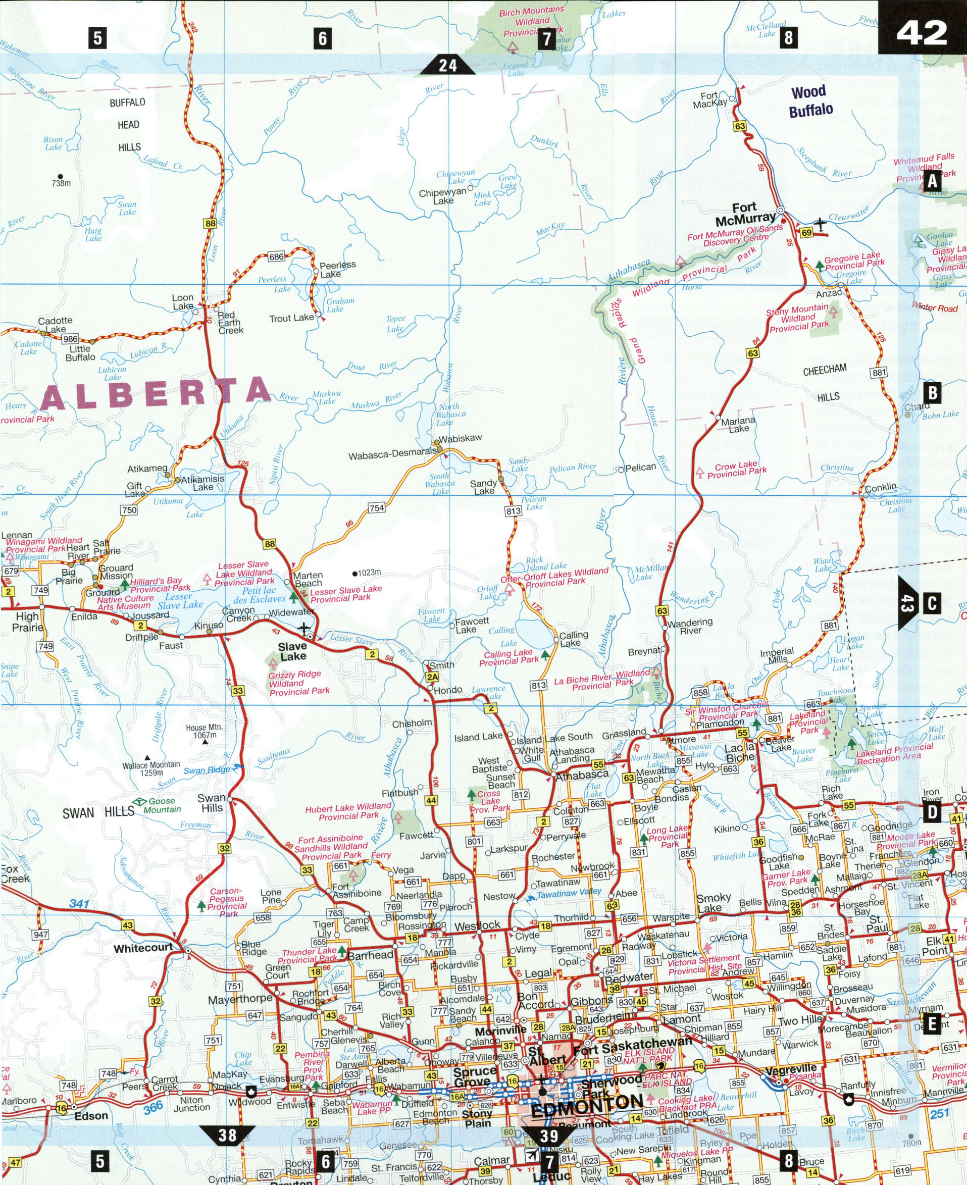
Map border Alberta and BC, Canada
Atlas Canada > Alberta
Highway map border Alberta and BC
Detailed roads map of border Alberta and BC. Free printable map of border Alberta and BC, Canada. The map shows the cities: Dawson Creek, Grande Prairie, Edmonton, Slave Lake.


Detailed roads map of border Alberta and BC. Free printable map of border Alberta and BC, Canada. The map shows the cities: Dawson Creek, Grande Prairie, Edmonton, Slave Lake.