Map of Ventura county, California
Map of Ventura county California
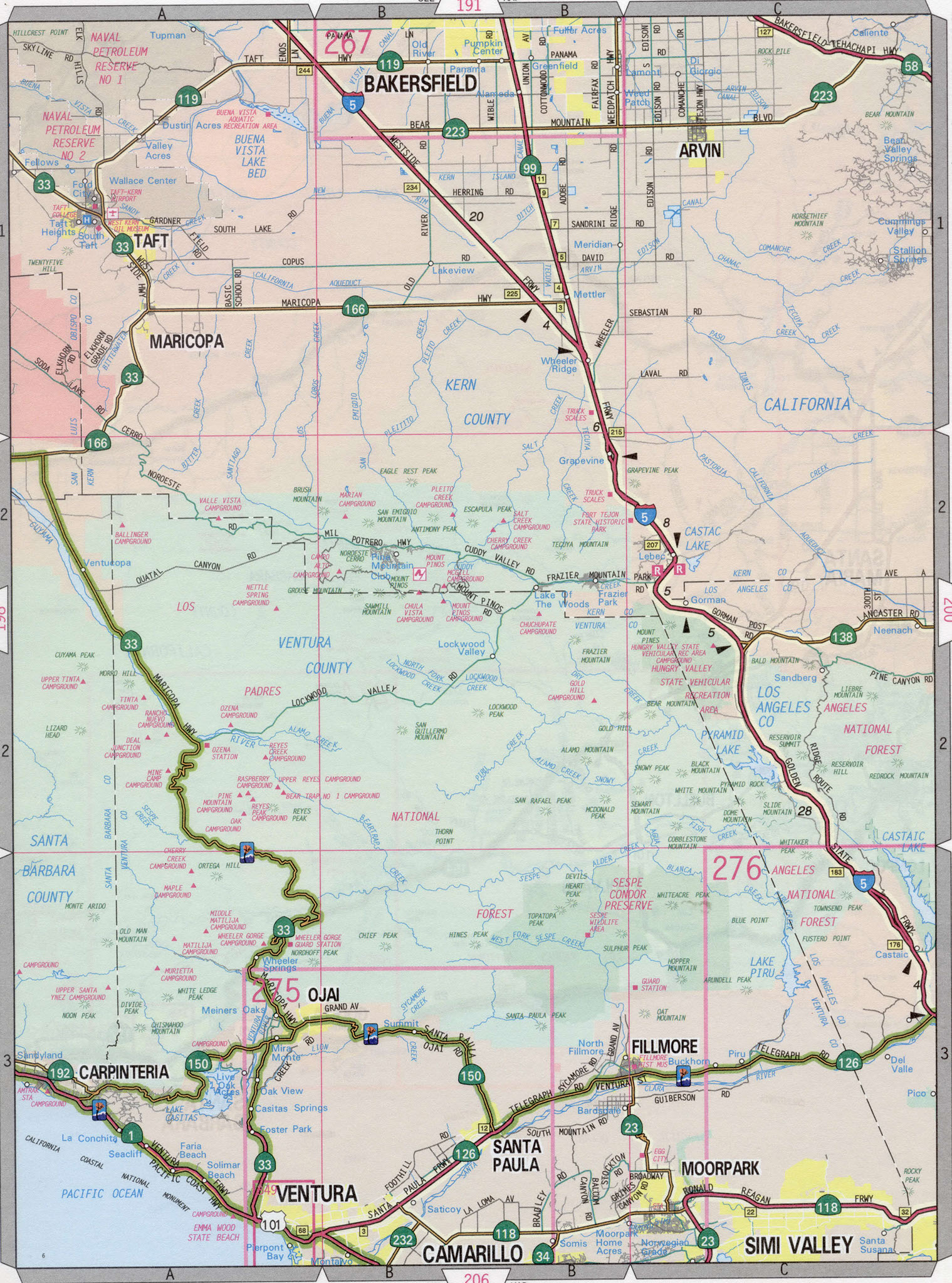
Ventura county highway map. Detailed highway map of Ventura county,
California. Road map Ojai, Fillmore, Moorpark, Ventura, Camarillo. Main roads highway Ventura county.
The exact distance on the highway from Los Angelos city to Ventura county is 355 miles.
Map Ventura county, California
Ventura county highway map. Detailed highway map of Ventura county, California. Road map Ojai, Fillmore, Moorpark, Ventura, Camarillo. Main roads highway Ventura county.