Map of Palo Alto city, California
Map of Palo Alto city California
Palo Alto city road map. Detailed street map of Palo Alto city
California. Easy read metro road and highway map of Palo Alto city,
California state of USA. Free road map of Palo Alto city and its
surrounding areas for car drivers. Main roads highway Palo Alto.
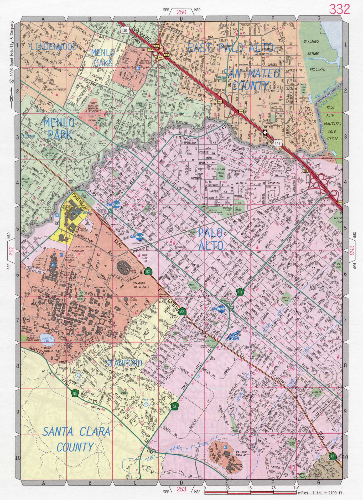
The exact distance on the highway from San Francisco downtown to Palo Alto city is 33 miles.
Map Palo Alto city California
Palo Alto city road map. Detailed street map of Palo Alto city California. Easy read metro road and highway map of Palo Alto city, California state of USA. Free road map of Palo Alto city and its surrounding areas for car drivers. Main roads highway Palo Alto.