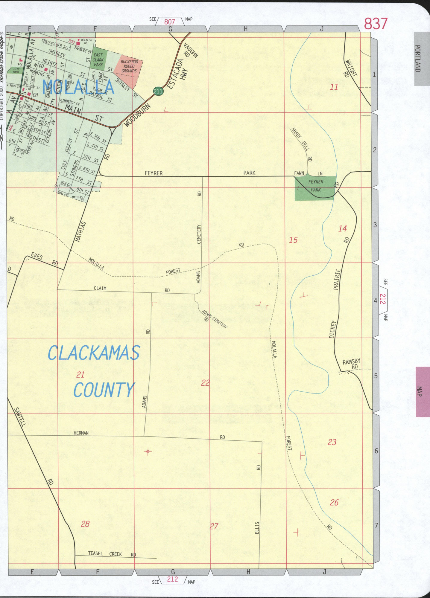
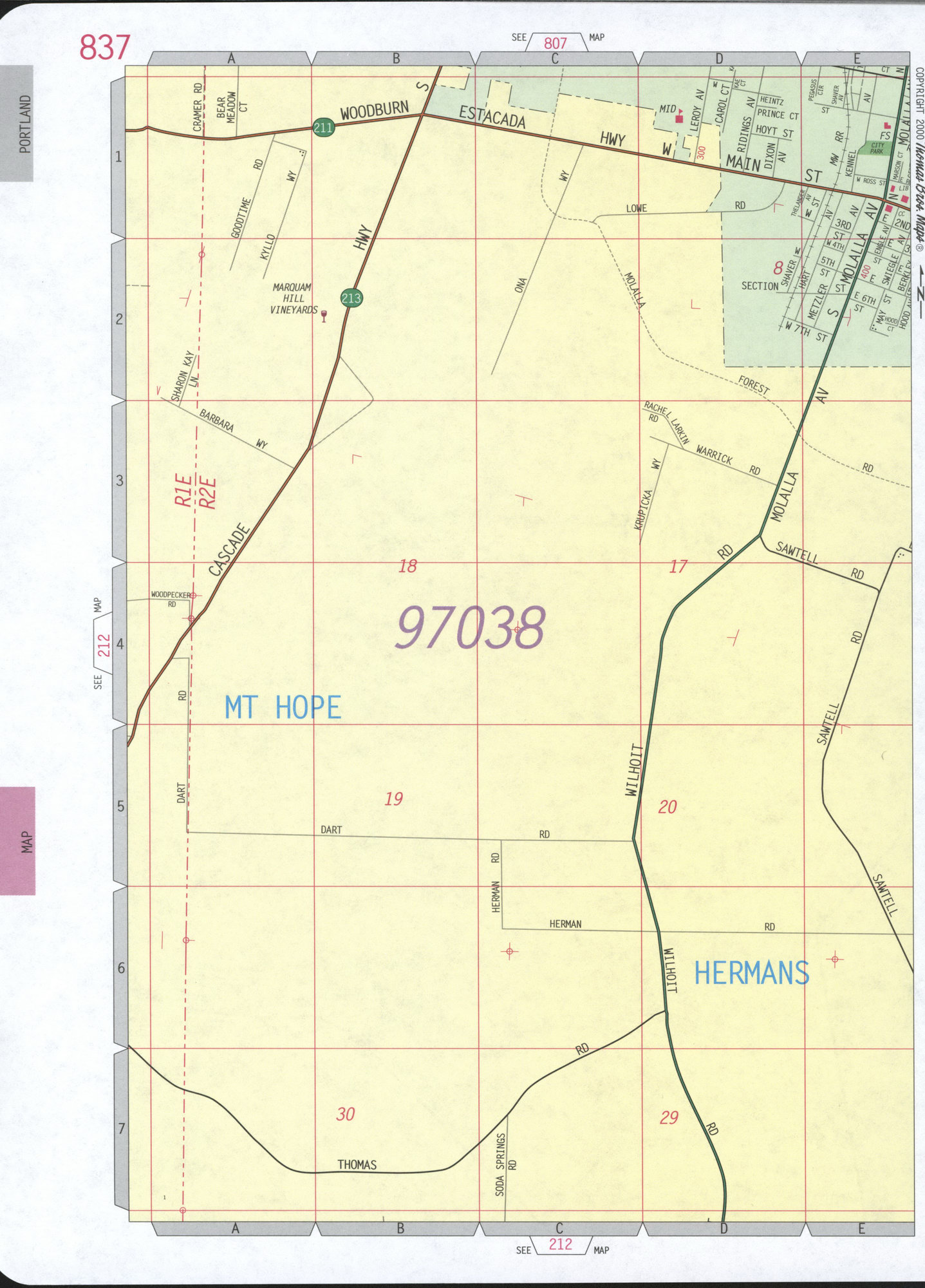
Map of Molalla city, Oregon
Map of Molalla city, Oregon state
Molalla city road map. Detailed large scale road map of the Molalla city
with street names. Highway and road map of the Molalla city and the
surrounding area for free use auto tourists and everyone. Detailed road
map of Molalla OR with indication schools, hospitals, churches,
shopping centers

Map of Molalla city, Oregon state
Molalla city road map. Detailed large scale road map of the Molalla city with street names. Highway and road map of the Molalla city and the surrounding area for free use auto tourists and everyone. Detailed road map of Molalla OR with indication schools, hospitals, churches, shopping centers

The exact distance on the highway from Portland downtown to Molalla city is 31 miles.
Map Molalla city, Oregon
Molalla city road map. Detailed large scale road map of the Molalla city with street names. Highway and road map of the Molalla city and the surrounding area for free use auto tourists and everyone. Detailed road map of Molalla OR with indication schools, hospitals, churches, shopping centers