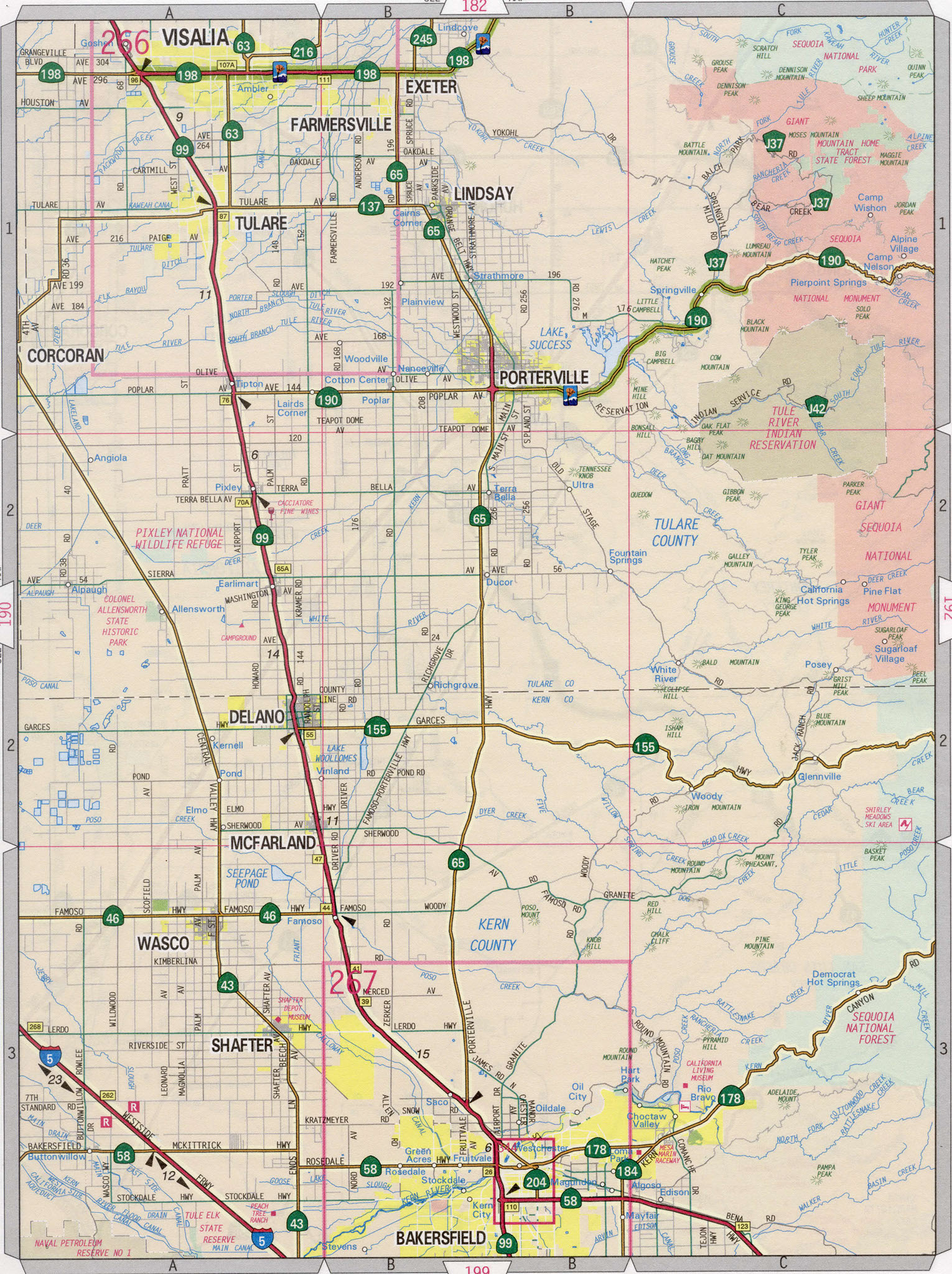
Map of Tulare county, California
Map of Tulare county California
Tulare county highway map. Detailed highway map of Tulare county California state.
Road map Tulare, Visalia, Porterville, Bakersfield, Ridgecrest. Main roads highway Tulare county.
The exact distance on the highway from San Francisco city to Tulare county is 173 miles.
Map Tulare county, California
Tulare county highway map. Detailed highway map of Tulare county California state.
Road map Tulare, Visalia, Porterville, Bakersfield, Ridgecrest. Main roads highway Tulare county.